
Thanks to you, we are celebrating our 25th anniversary.amplavirtual.com.br Founding Festival
amplavirtual.com.br
More informationHere


 Pick up at store
(free shipping)
Pick-up store:
Choose a store
Delivery time:
Due to lack of stock in store, this item will need to be ordered.
Delivery is scheduled for 06/06.

 Deliver
Delivery time:
Delivery is scheduled for 06/01.
Payment methods are limited to credit cards and cash on delivery. For other payment methods, please check here .
*Delivery of products may take some time in cases where the order is placed on Saturdays, Sundays, or public holidays, or depending on stock availability.
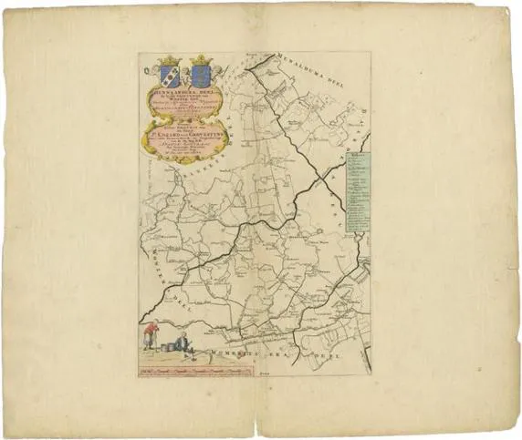
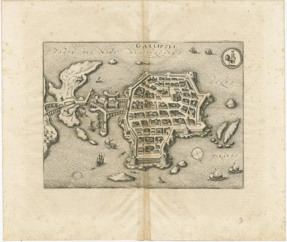
Antique Map of the Hennaarderadeel Township Friesland by Halma, 1718
Detailed information on Antique Map of the Hennaarderadeel Township Friesland by Halma, 1718
Antique map Friesland titled \'Hennaardera Deel de Vyfde Grietenije van Wester Goo (\\.)\'. Old map of Friesland, the Netherlands. This …
Read more
Antique map Friesland titled \'Hennaardera Deel de Vyfde Grietenije van Wester Goo (\\.)\'. Old map of Friesland, the Netherlands. This map depicts the region of Hennaarderadeel and includes cities and villages like Oosterend, Hennaard, Wommels and more. with coat of arms of the Grovestins family. Originates from \'Uitbeelding van de Heerlijkheid van Friesland\' by Bernardus Schotanus à Sterringa. This atlas is considered the best atlas of Friesland, the Netherlands. Artists and Engravers: Published by F. Halma, Leeuwarden. Condition: Good, general age-related toning. Minor defects and repair on folding line, please study image carefully. Date: 1718 Overall size: 65 x 55 cm. Image size: 29 x 41 cm.
See less

Search for products in the same category
Bestseller ranking


Customers who viewed this product also viewed:
-
My store inventory: 8tax included$362
-
My store inventory: 8tax included$378
-
My store inventory: 8tax included$281
-
My store inventory: 8tax included$158
-
My store inventory: 8tax included$137


Products at nearby stores


Customer reviews
Recommended level 4.7 points
Currently, 45 reviews have been posted.